I've been lax in blogging for a while. My feet have wanderlust! I have been wanting to travel... go somewhere new! I realized I had a Groupon that I had not taken care of and it was about to expire so we decided it was a beautiful day to go exploring. Mom, Tommy and I had never been and we've lived in the St. Louis area FOREVER!
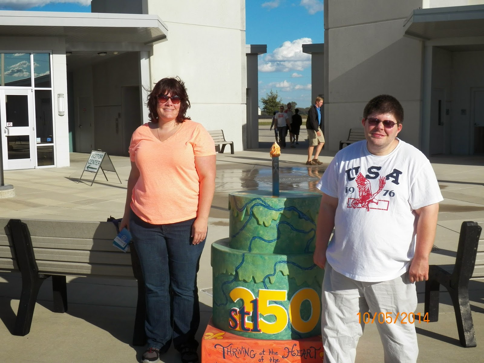
Along the way we decided to go cake hunting too! 2014 is the 250th celebration of St. Louis' founding. The city has placed cakes decorated by local artists all around the city and suburbs. Cahokia is in IL but it's close enough to be considered a suburb. You can read more about the Cakeway to the West
here.
Our first visit was to Cahokia Mounds.

We went to the Interpretive Center and started to view the museum with our self directed i pods -- really nice presentation! Worth the price of renting them. Then they called for the short introductory film that is displayed. I should mention here that the Interpretive Center and the Mounds themselves are FREE. Free I say! Free admission to everything. You pay for the use of the i pods but that's about it. I digress...
The movie was called Cahokia - The City of the Sun. I already learned more than when I had arrived considering I thought they were all burial mounds. Turns out they aren't. There are flat mounds that had buildings upon them and rounded mounds that were in fact burial mounds. There is much speculation as to what the buildings were and why there were mounds for houses. I found that very interesting and of course started to speculate. I honestly think that some of it was because of flooding.. wouldn't you keep your top people, burial sites (think New Orleans!) and food stuffs (Did you know that they could store corn for up to three years?) up out of the way of floods?. My personal thoughts with nothing other than common sense to back it up:) -- I read a book while I waited for the pictures to upload... flooding was a concern:)
 |
| Monk's Mound |
We decided to do the outdoor part of the tour after the movie.. The first stop was a mound called, "Monk's Mound". It was named after a French trapper who came along after the Indians were gone and resided on a nearby mound and gardened on Monk's Mound. It has four terraces. It is 100 feet in the air and a thousand feet long. The mound it self covers 14,000 square feet. It is the LARGEST prehistoric earthen structure in the Americas. Who knew? Right in our own background! I am assuming that the measurement is horizontal and vertical. 100 feet doesn't sound like a huge amount until you consider that they had to carry the dirt from "borrow" pits on their backs - 40 to 50 pounds at a time. The mounds were 100's of years in the making. The other striking feature is how they resemble the Egyptian Pyramids. In fact it's often called a truncated pyramid. Scholars aren't real sure why. Speculations run from the thought that the plans were handed down from mouth to mouth and maybe they are connected by a common religion or they also suspect it was just a good solid way to build. After all... houses still have four walls right?
 |
Tommy at the top of Monk's Mound
From a distance, Monk's Mound just looks like a flat topped (truncated) hill and doesn't really appear that tall so I am glad they planted trees for some perspective. They have steps leading up to the first and third tiers. They are modern stairs complete with hand rails. At the time of the Cahokia civilization, they stairs were in the same place but were rough logs put in place as stairs. This mound is the largest mound in the vicinity and had ceremonial buildings in place.
|
They believe that a temple or a palace was on top and smaller structures and additional mounds were built on the lower tiers. I have to confess.. the first tier...looks like grass:) The interesting thing about these mounds were the core samples. Different types of dirt were used in different areas to make sure the structure was secure and had adequate drainage. That is an amazing feat when you consider this was all done by hand over a period of 300 years. At any rate... nothing remains of the buildings on top of the mounds. It's really a few concrete signs and a wonderful view of the other mounds. This is where the I pod comes in handy. The signs themselves are just markers of which mound has which number. The I pod talks about the individual mounds and what they discovered when excavating. One mound in particular was found to have many many bodies buried in it. Some very carefully, some thrown in a mass grave with no care and some were placed with arms interlocking and their heads and hands cut off. I'm morbid I admit it.. I'd love to know what that was all about! There also is evidence that family members were slain to accompany their family members into the after world. Doesn't that sound Egyptian too?
 |
| Twin mounds.. the one straight ahead is Fox Mound |
At any rate, I thought this would just be a little place with a few mounds here and there. I had mom and Tommy with me, neither of whom, appreciate a 10 mile hike so I'll return another day to do that and explore more mounds:) The photo to the left shows twin mounds. The one straight ahead is truncated and they believe that it may have been place to prepare bodies for burials which were then placed in the round top mounds. They called these huts charnel houses and sometimes they were burned as part of the burial but sometimes they were just used as preparation places.

They also had something called a stockade. It was a large wall made of logs built around the town proper. In the renditions of the museum, it looked very much like the walls of the first forts in the area. Weird huh?
At the height of it's civilization, The Mississippians had close to 20,000 people living near on in the vicinity of the mounds. They were no long hunters and gathers. They were able to farm maize and live off the land. This allowed for society to become...society. Certain members assured of a ration of the food could now specialize in weapons, pottery, clothing (side note.. they used brains to soften or tan the leather for clothing... blech!)etc. Trade formed because of this idleness (meaning they didn't have to always hunt for food) . Scholars found sea shells and copper and this led them to discover that not only were the people bartering with each other but they were bartering with people of different tribes and nations. I only bring this up because it seems that this may have been their blessing and their downfall. As the population boomed.. resources depleted. Malnutrition and a variety of diseases occurred. Constant fires caused smog. I really found the parallels to modern day life striking...
 |
| St. Louis Skyline from Monk's Mound |
St. Louis has been known as Mound City... Evidently there were many mounds on what is currently downtown St. Louis. Makes sense I guess... It's really not that far away.
Down the road from Monk's Mound is the American Woodhenge. Not to be confused with England's Stone Henge. Woodhenge is a circle of cedars positioned much like a sundial. It's believed that the Natives used it to show important dates, primarily the winter and summer solstices which they used for planting purposes.
In the above Woodhenge pictures, the poles marked are the Summer and Winter Soltice poles. There is a pole in the middle that acts much like a sundial, pointing to specific poles depending upon the angle of the sun.
After our trek to see Monk's Mound and Woodhenge, we went back and toured the museum. I didn't really use the I pod much here as I pretty much could read what I wanted to know. They have some really interesting exhibits!
 |
| Birdman |
The statue below depicts a man playing Chunkey. The rocks surrounding him were the "balls". I gotta wonder who came up with the name here. Basically you rolled the rock or stone and then threw a spear to see who would get closest to where it was going to land. They would have all day events and betting. Ah, civilization:)
Think I've gabbered on too much here. It was really interesting and I could have spent all day there but decided to take pity on my poor mother and brother. My Groupon came with two free books.... I read one already. Its about 70 pages long and called
The City of the Sun. It's a pretty good read. The other is called
Journey to Cahokia An Educational Activity Book --- Now how'd they know I was a teacher? It even says in the book to copy the activity pages! Me Likee!
Until next time!
P.S. I almost forgot... Found a cake! :)

 Had another Groupon that was going to go to waste if I didn't use it. Plus I got four souvenir bags with it free. I need more bags. I don't leave the ones I have enough in the car when going into the store:/ The Lewis and Clark Confluence tower was only about 30 minutes away so we hit two attractions in one day! It's really a simple tour. They take you up and you look at the two rivers converging. It was worth the four bucks and has a nice little interpretive trail around the center.
 The tower has three levels. They didn't take us on the 50 foot level because she said all we would see would be the levee. I think it was more.. I want to get you people out of here because it's almost time for me to go home. It would have been nice to have the option to see a wall of dirt but we did come at the end of the day sooo.... The 100 foot platform had all sorts of information about the rivers and gave a panoramic view of not only the river but the water tower at SIUE and Pierre Marquette State Park as well as the refineries and packing plants that helped finish building and staffing the tower.


